Mobilaris Mining launches new high-accuracy underground navigation system


Mobilaris Mining & Civil Engineering has unveiled its new product, Mobilaris Onboard, which enables real-time, high-accuracy navigation and positioning of underground vehicles, machines and other assets in mines.
Mobilaris Onboard operates on a standard tablet with a patent-pending algorithm called Mobilaris Hybrid Positioning that enables high accuracy positioning and location in underground mines to between 5 m to 10 m.
“We are confident that Mobilaris Onboard will cause a paradigm shift in the underground mining industry, as it makes every miner aware of the whole real-time situation in the mine and enables a set of unique tools that will empower people through increased transparency, increase productivity through less traffic congestion and make operations safer,” says Mobilaris business development and strategic product management VP Hans Wahlquist.
Mobilaris Onboard acts as a mobile ‘radar’, showing any incoming traffic or traffic congestion and highlighting the best routes for the machines or vehicles to take, as well as navigation routes to the closest rescue chambers in the case of an evacuation event.
The navigation system enables drivers to see their positioning in real time while driving, as well as search for any assets, fixed or moving, and get an accurate ‘fly-by-wire’ navigation to the destination.
No additional high-accuracy tracking infrastructure is required, as the technology is based on cutting-edge sensor fusion, artificial intelligence and advanced mathematics that allows for self-sustained positioning.
The connection of Mobilaris Onboard to the company’s centralised Mobilaris Mining Intelligence back-end unlocks a situational awareness of the entire mine and feeds real-time information about personnel, equipment and vehicles.
“Whether you would like to know the estimated time of arrival of a certain mine truck, the location of a drill rig, the whereabouts of maintenance personnel or the location of a water pump, you are now able to have all the information at your fingertips,” he says.
All information, including mine maps, is shown in three-dimensional views and is locally stored so that it can be used out of network coverage, if required.
Comments
Research Reports
Projects
Latest Multimedia
Showroom
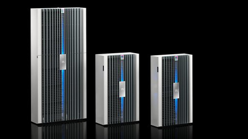
Rittal is a world leading provider of top-quality integrated systems for enclosures, power distribution, climate control, IT infrastructure and...
VISIT SHOWROOM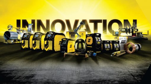
ESAB South Arica, the leading supplier of high-end welding and cutting products to the Southern African industrial market is based in...
VISIT SHOWROOM

Announcements
What's On
Subscribe to improve your user experience...
Option 1 (equivalent of R125 a month):
Receive a weekly copy of Creamer Media's Engineering News & Mining Weekly magazine
(print copy for those in South Africa and e-magazine for those outside of South Africa)
Receive daily email newsletters
Access to full search results
Access archive of magazine back copies
Access to Projects in Progress
Access to ONE Research Report of your choice in PDF format
Option 2 (equivalent of R375 a month):
All benefits from Option 1
PLUS
Access to Creamer Media's Research Channel Africa for ALL Research Reports, in PDF format, on various industrial and mining sectors
including Electricity; Water; Energy Transition; Hydrogen; Roads, Rail and Ports; Coal; Gold; Platinum; Battery Metals; etc.
Already a subscriber?
Forgotten your password?
Receive weekly copy of Creamer Media's Engineering News & Mining Weekly magazine (print copy for those in South Africa and e-magazine for those outside of South Africa)
➕
Recieve daily email newsletters
➕
Access to full search results
➕
Access archive of magazine back copies
➕
Access to Projects in Progress
➕
Access to ONE Research Report of your choice in PDF format
RESEARCH CHANNEL AFRICA
R4500 (equivalent of R375 a month)
SUBSCRIBEAll benefits from Option 1
➕
Access to Creamer Media's Research Channel Africa for ALL Research Reports on various industrial and mining sectors, in PDF format, including on:
Electricity
➕
Water
➕
Energy Transition
➕
Hydrogen
➕
Roads, Rail and Ports
➕
Coal
➕
Gold
➕
Platinum
➕
Battery Metals
➕
etc.
Receive all benefits from Option 1 or Option 2 delivered to numerous people at your company
➕
Multiple User names and Passwords for simultaneous log-ins
➕
Intranet integration access to all in your organisation